Learning Center
Downloads


Tags
- 3D Digital Models 7
- 3d scanners 1
- AI in Construction 1
- AMG 1
- Artificial Intelligence 1
- As-Built 1
- Autocad 2
- Base and Rover 1
- Better meetings 1
- Big Data 2
- Big Data in Construction 3
- CAD 5
- CAD files 4
- Cad Services 1
- Changes in Construction 2
- Civil GPS systems 5
- Communication 2
- Conexpo 1
- Construction Data and Safety 4
- Construction Project Bidding 6
- Construction Takeoffs 6
- Construction control site networks 2
- Construction planning 2
- Construction projects 6
- Control Points 3
- Curbs 1
- DEM 1
- DSM 1
- DTM 4
- Dig safe 2
- Digital takeoffs 6
- Drone data 2
- Drones 2
- Earthwork drones 1
- Electronic Distance Measuring 1
- Ellipsoids 1
- Excavation Safety 2
- Excavation bidding process 3
- Excavation hybrid fleet 1
- GPS Machine Calibration 3
- GPS equipment software 4
- GPS/GNSS 8
- Geoids 2
- Heavy Equipment GPS 6
- Lidar 2
- Milling and Paving 1
- Milling and Paving Technologies 1
- Orthophotos 2
- Point Cloud 1
- RTK 3

THE KEY DIFFERENCES BETWEEN 2D & 3D MACHINE CONTROL
Technology and machine control have taken over the construction industry and are the key factors driving earthwork efficiency. Do you want your site to run optimally? Do you want to improve the setup of your operators and in-house engineers for even more success?? If so, you should understand the differences between 2D and 3D machine control.

HOW DOES ECI & JESCO’S BUNDLED SERVICES PACKAGE BENEFIT YOU?
Work smarter, not harder! Why create more work for yourself? You can avoid wasting your time and money by purchasing bundled precision construction services! Maximizing your investment means fully utilizing your machines. This can be achieved by pursuing heavy equipment retailers partnered with GPS modeling services.

IN-HOUSE ENGINEERS: HOW WE CAN MAKE THEM EVEN BETTER
We are often asked how we can provide value to a road, utility, or site contractor who already has an in-house GPS model builder. The answer is simple, we work collaboratively with them to add the modeling expertise of our VCEs, we take up the slack to get large projects ready for construction, and we bring more modeling tools to the table.
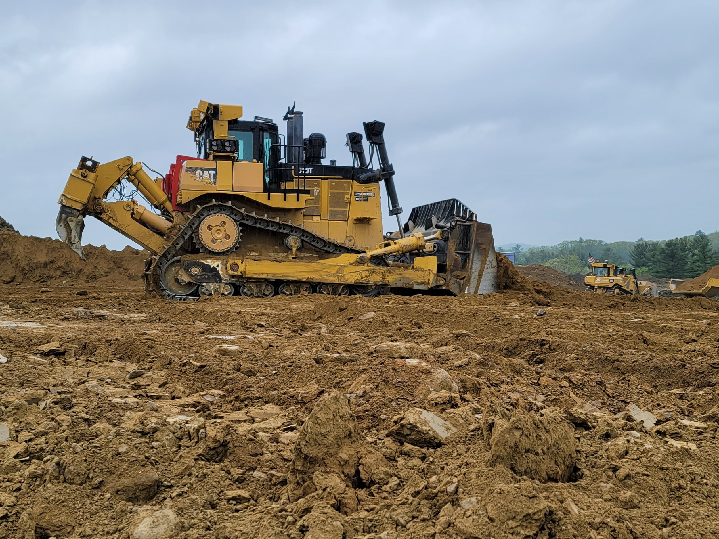
BULLDOZERS: ALL YOU SHOULD KNOW ABOUT THEM AND HOW GPS IMPROVED THEM
For GPS to work successfully and efficiently in earthwork, there must be accurate 3D models loaded into the dozer or other heavy machinery. GPS has become more of the industry standard, and we expect there will not be many site contractors running projects without GPS on their equipment. The benefits are far too great not to make the switch.
Videos

Consideration When Buying a Drone

What Happens When You Start Working with ECI

How ECI Gives Your In-house GPS a Boost

How Much Does A Road Model Cost?