Learning Center
Downloads


Tags
- 3D Digital Models 7
- 3d scanners 1
- AI in Construction 1
- AMG 1
- Artificial Intelligence 1
- As-Built 1
- Autocad 2
- Base and Rover 1
- Better meetings 1
- Big Data 2
- Big Data in Construction 3
- CAD 5
- CAD files 4
- Cad Services 1
- Changes in Construction 2
- Civil GPS systems 5
- Communication 2
- Conexpo 1
- Construction Data and Safety 4
- Construction Project Bidding 6
- Construction Takeoffs 6
- Construction control site networks 2
- Construction planning 2
- Construction projects 6
- Control Points 3
- Curbs 1
- DEM 1
- DSM 1
- DTM 4
- Dig safe 2
- Digital takeoffs 6
- Drone data 2
- Drones 2
- Earthwork drones 1
- Electronic Distance Measuring 1
- Ellipsoids 1
- Excavation Safety 2
- Excavation bidding process 3
- Excavation hybrid fleet 1
- GPS Machine Calibration 3
- GPS equipment software 4
- GPS/GNSS 8
- Geoids 2
- Heavy Equipment GPS 6
- Lidar 2
- Milling and Paving 1
- Milling and Paving Technologies 1
- Orthophotos 2
- Point Cloud 1
- RTK 3

HOW DOES ECI & JESCO’S BUNDLED SERVICES PACKAGE BENEFIT YOU?
Work smarter, not harder! Why create more work for yourself? You can avoid wasting your time and money by purchasing bundled precision construction services! Maximizing your investment means fully utilizing your machines. This can be achieved by pursuing heavy equipment retailers partnered with GPS modeling services.

ADVANCES IN EARTHMOVING CONSTRUCTION: GPS JOINS THE 90’S SCENE
We all know that computers are significant in today’s world, and its impact on the construction industry is no exception. Whether it is the computer systems that are being used to design projects or the machinery used to build them, computers are critical to the project’s success. For example, the days of designing sites using hand-drawings or blueprints are long gone, and that includes redlines of the blueprints which were replaced by As-Builts. Systems such as computer-aided designs (CAD) have taken the place of blueprints and become more sophisticated from year to year.

GRADING SURFACES: WHAT ARE THEY? HOW DO THEY IMPROVE CONSTRUCTION PROJECTS?
Are you wondering how a surface model will work with your heavy equipment? Although it can seem complex, it is simpler than you may think. Some machines already come equipped with the technology and others can be retrofitted with aftermarket technology systems. Either way, the most important thing to understand is that they run off GPS.

UNDERSTANDING THE COST OF A 3D ROAD MODEL: FACTORS THAT IMPACT PRICE
The increased use of GPS systems for construction projects has led to contractors often asking themselves or service providers like us, “What does a 3d road model cost?”. Typically, you’ll hear the standard reply of “it depends” which it does. However, we’re going to explain why it depends and what each type might generally cost.

CONSIDERING A CAREER IN CONSTRUCTION? HERE ARE MANY REASONS WHY YOU SHOULD
There are tons of specialties that one can build off of within construction. Not everyone has to be a carpenter or a heavy equipment operator. However, if you do start in one of those jobs, your chances to further build out your skills are plentiful.
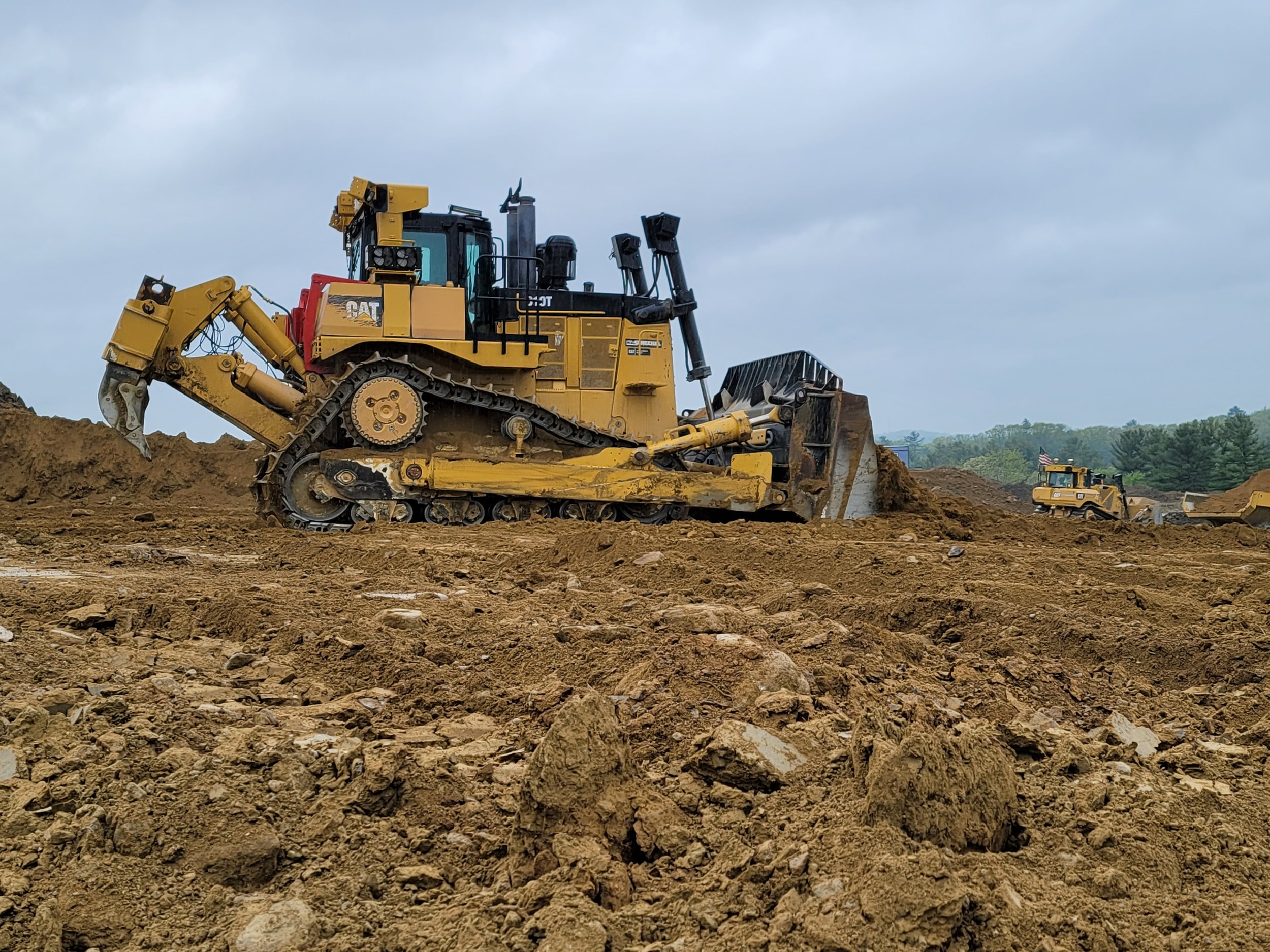
BULLDOZERS: ALL YOU SHOULD KNOW ABOUT THEM AND HOW GPS IMPROVED THEM
For GPS to work successfully and efficiently in earthwork, there must be accurate 3D models loaded into the dozer or other heavy machinery. GPS has become more of the industry standard, and we expect there will not be many site contractors running projects without GPS on their equipment. The benefits are far too great not to make the switch.
Videos

Consideration When Buying a Drone

What Happens When You Start Working with ECI

How ECI Gives Your In-house GPS a Boost

How Much Does A Road Model Cost?