Learning Center
Downloads


Tags
- 3D Digital Models 6
- 3d scanners 1
- AI in Construction 1
- AMG 1
- Artificial Intelligence 1
- As-Built 1
- Autocad 2
- Base and Rover 1
- Better meetings 1
- Big Data 2
- Big Data in Construction 3
- CAD 5
- CAD files 4
- Cad Services 1
- Changes in Construction 2
- Civil GPS systems 4
- Communication 2
- Conexpo 1
- Construction Data and Safety 3
- Construction Project Bidding 6
- Construction Takeoffs 6
- Construction control site networks 2
- Construction planning 1
- Construction projects 6
- Control Points 3
- Curbs 1
- DEM 1
- DSM 1
- DTM 4
- Dig safe 1
- Digital takeoffs 6
- Drone data 2
- Drones 2
- Earthwork drones 1
- Electronic Distance Measuring 1
- Ellipsoids 1
- Excavation Safety 1
- Excavation bidding process 3
- Excavation hybrid fleet 1
- GPS Machine Calibration 3
- GPS equipment software 4
- GPS/GNSS 8
- Geoids 2
- Heavy Equipment GPS 6
- Lidar 2
- Milling and Paving 1
- Milling and Paving Technologies 1
- Orthophotos 2
- Point Cloud 1
- RTK 3
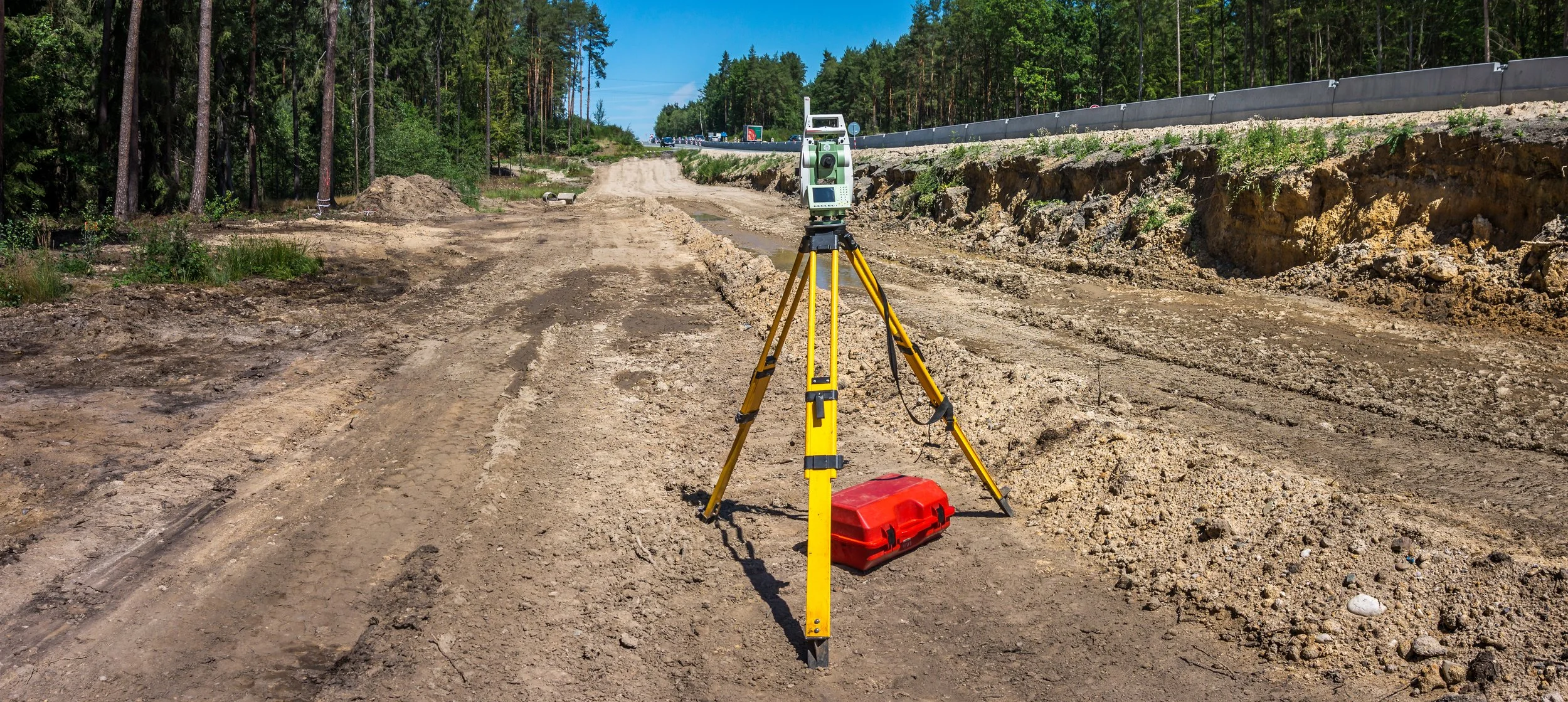
TOTAL STATIONS: HOW THEY IMPROVE DATA & ACCURACY ON JOB SITES
Have you ever been on a job site where the engineer only used a transit or theodolite to check grades? It takes them so long to set up, find their benchmark, measure the point, and calculate an elevation that you might as well send the crew home because it takes so long. Fortunately for you, most engineers these days use total stations or GPS rovers to check grades.
Videos

Consideration When Buying a Drone

What Happens When You Start Working with ECI

How ECI Gives Your In-house GPS a Boost

How Much Does A Road Model Cost?