LIDAR vs. PHOTOGRAMMETRY: WHICH SURVEYING METHOD IS BEST FOR OUR INDUSTRY?
Surveying is the cornerstone of our industry because it collects and records topographical data used for planning development projects such as roads/highways, residential/commercial sites, playgrounds, and more. Different modern methods exist for capturing this information, including LIDAR and Photogrammetry. Both LIDAR and Photogrammetry share the same primary purpose: to determine the 3D relationships between other locations; however, their methods differ. Both ways accomplish their task by locating and measuring natural and people-made land features' elevations, angles, and boundaries. These surveying methods are fundamental in construction and civil engineering. Understanding their similarities and differences will help you decide which to invest in and deploy for your projects.
Understanding LIDAR
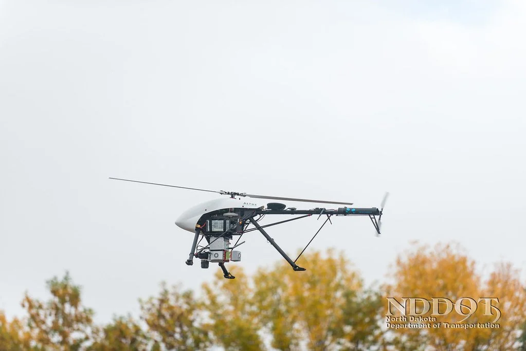
Drone flight using LIDAR
LIDAR stands for Light Detection and Ranging. It works by sending out pulses of laser light and measuring the exact amount of time it takes for the pulses to return from bouncing off the ground. It also measures the reflection's intensity. The sensor in the instrument takes a recording of the reflected light and calculates the distance traveled, which gives you the measurement. This measurement, plus the spatial coordinates of the sensor that come from the GPS receiver, creates what is called a point. When the process is repeated repeatedly, you could end up with millions of points; this is called a point cloud. It is the point cloud that is used to create 3D terrain models for projects. This method has many advantages: it is fast, it is accurate, and it is flexible. Its speed allows it to collect a million data points per second, so even if you're working on a vast site, it won't take too long to survey it all. The accuracy is very high because the laser shoots down to the ground and back up repeatedly and closely together. It is flexible in that you can mount LIDAR instruments on many different devices, whether they are mobile (drone, airplane, etc.) or immobile (tripod).
Understanding Photogrammetry

Photogrammetry Cloud
Photogrammetry is different than LIDAR in that it takes pictures of the terrain that is being flown over with a camera mounted on a drone. It then stitches those photos together to provide you with a detailed visual of the land. These stitched photos are then run through computations that determine the point location of each pixel of the composite image using the drone's location at each picture, creating a point cloud. The visuals you get from the photogrammetry process are similar to what you'd see using Google's Street view. It provides elevations and detailed visuals of every feature on the site, including texture, shape, and color for every point on the map.
Which Method is the Best Choice for Construction?
Depending on the purpose of your need for a land survey, one method may be better than the other. If, for example, you're flying over a site with a lot of vegetation, LIDAR would be a better option. The reason is that the laser pulses can still penetrate the ground between trees, branches, and leaves. Photogrammetry cannot accomplish such a high vertical accuracy because of the vegetation obstructions. LIDAR's ability to map denser vegetation is the main reason why LIDAR is the preferred method in the forestry industry and engineering companies performing initial site surveys. Most times in the construction industry, the foliage will be cut down or removed from the site before building the road or structure. For this reason, Photogrammetry tends to be the method of choice. Flying the drone over the job site after the trees have been cut down will allow you to get the data that you need for the 3D terrain model. Another essential consideration when deciding between the two is the cost. It is simply a fact that the LIDAR method is more expensive than Photogrammetry. Due to Photogrammetry's affordability, it tends to be the most common choice for the construction industry. There are few rare occasions in our profession where LIDAR would be necessary. The accuracy for either method in lower vegetation areas is comparable to each other. Although their approaches are quite different, the data collected and output are similar and used to generate 3D models.
Our team of virtual construction engineers at ECI Technologies can speak with you anytime about your project needs and how using 3D models for construction projects is the way to go.